overtodayweather
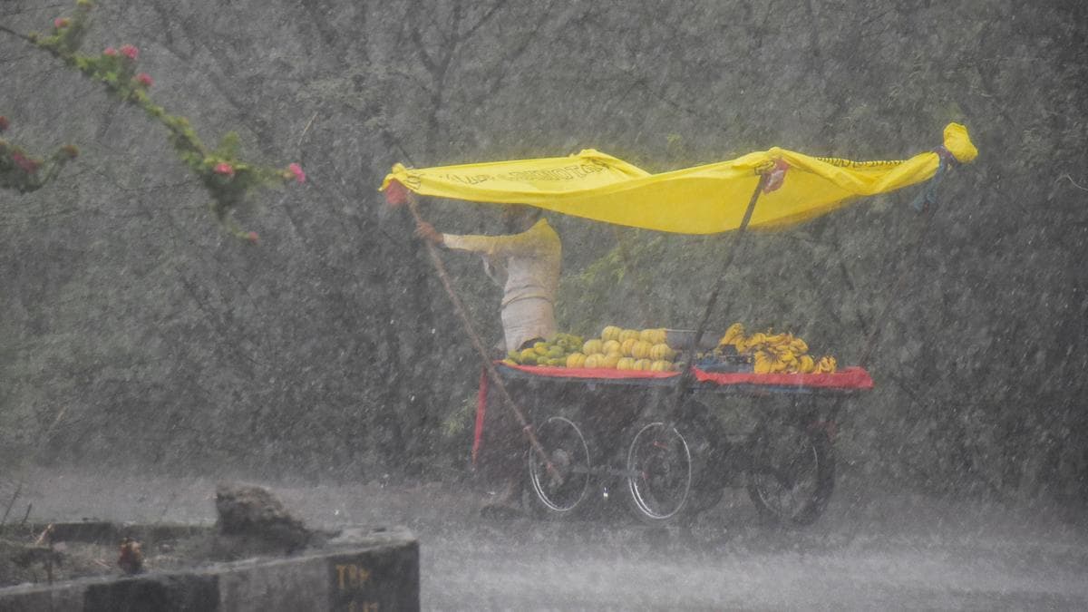
The southwest monsoon, which entered Kerala three days later than usual, is set to bring heavy rainfall and active weather conditions to several parts of India. The monsoon is expected to maintain its momentum on Friday, advancing further across the southern peninsula. The India Meteorological Department (IMD) has forecast heavy rainfall over Kerala, Karnataka, Telangana, and Tamil Nadu during the coming week.The northeastern region, particularly Arunachal Pradesh, Assam and Meghalaya, is expected to remain under the influence of heavy to very heavy rainfall. In contrast, northwestern and central India are likely to experience a volatile mix of thunderstorms and emerging heatwave conditions.Weather outlookThe IMD has forecast moderate rainfall accompanied by thunderstorms, lightning and gusty winds across Telangana, where six districts have been placed on heavy rainfall alert. Heavy rainfall is likely at isolated places in Rangareddy, Sangareddy, Medak, Kamareddy, Mahabubnagar and Nagarkurnool districts.Most parts of Karnataka, including the capital Bengaluru, have been placed under a yellow alert, while Dakshina Kannada district is under an orange alert, indicating the possibility of very heavy rainfall.Isolated heavy rainfall is also likely over Tamil Nadu, Puducherry and Karaikal from 8 to 10 June; Lakshadweep on 5 and 6 June; and Coastal Andhra Pradesh and Yanam on 5 June and again from 9 to 10 June.The Northeast is expected to continue witnessing wet weather, with heavy rainfall likely over Arunachal Pradesh, Assam, Meghalaya, Nagaland, Manipur, Mizoram and Tripura. Isolated areas in the region could also receive very heavy rainfall.Meanwhile, parts of northern and central India are likely to experience thunderstorms accompanied by lightning and gusty winds of 50-60 kmph. The weather activity is expected to affect Delhi, Haryana, Punjab, Uttar Pradesh, Madhya Pradesh and Chhattisgarh, with some locations at risk of intense thunderstorms and brief squalls.Light rainfall is expected during the morning and forenoon, followed by another spell in the evening and at night. Wind speeds may reach up to 60 kmph during thunderstorm activity. Maximum temperatures are likely to remain between 38°C and 40°C, close to the seasonal average.Delhi weatherRain and thunderstorms have triggered a sharp fall in temperatures across the national capital, with the mercury dropping by as much as 19°C in some areas.The weather agency has also forecast thunderstorms and lightning accompanied by gusty winds of 40-50 kmph at isolated places across Delhi, Haryana and Chandigarh.Light rainfall is expected in Delhi during the morning and forenoon, followed by another spell in the evening and at night. Wind speeds may reach up to 60 kmph during thunderstorm activity. Maximum temperatures are likely to remain between 38°C and 40°C, close to the seasonal average.Mahesh Palawat, Vice-President of private forecasting agency Skymet Weather, said: “A fresh western disturbance and cyclonic circulation over central Pakistan, Haryana and northwestern Rajasthan are expected to trigger rain and thunderstorm activity across the region over the next three days.”View full ImageHeavy rain alerts for North and South India.(IMD)While no heatwave warning has been issued for Friday, the IMD has cautioned that heatwave conditions could develop over isolated parts of Bihar from 6 June. The hot weather is expected to extend into eastern Uttar Pradesh from 7 June.About the AuthorKanishka SinghariaKanishka Singharia is a Senior Content Producer at Mint with a passion for news, trends, and the stories shaping the digital world. She specialises in spotting viral narratives by constantly tracking social media platforms and turning them into engaging, reader-friendly stories. Her work ranges from fast-paced breaking updates to sensitive human-interest features, blending speed with clarity. With over four years of experience in news and trend reporting, Kanishka has worked